🔼 Fundamental Concepts for Drone Flying
💡 Drone Flying Examples and Metaphors
📚 Related Themes in Drone Flying
🧪 Drone Flying Tests and Simulations
🧑✈️ How Real-World Drone Pilots Train for Professional Uses
📚 Drone Applications in Space Exploration and Military Uses
🚚 Drones in Logistics and Delivery
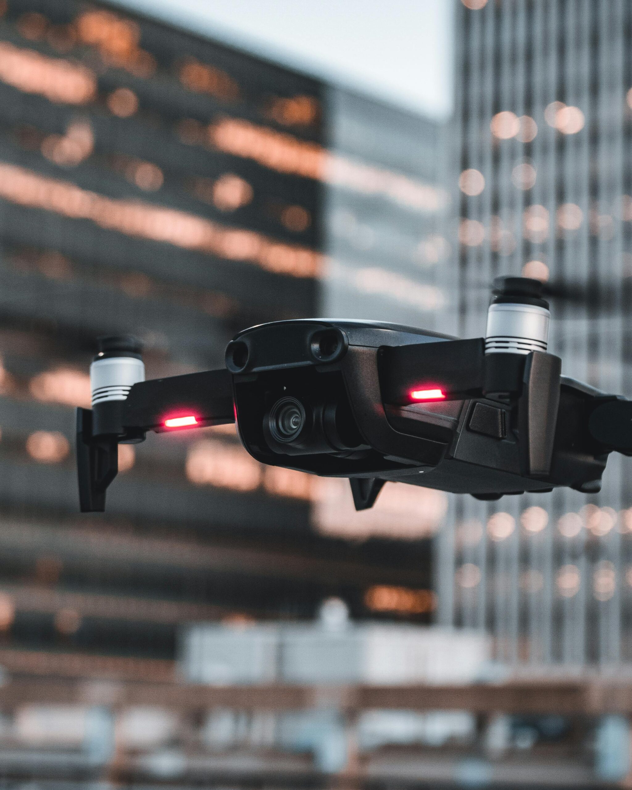
🛸 Overview of the DJI Drone Line: Mini, Avata, Mavic 3, and More
5. Specialized Training for Different Industries 🔧
📸 Aerial Photography and Videography
For professional photography, drone pilots learn camera control in addition to flying skills. Key techniques include:
- Gimbal control: Keeping the camera steady to capture smooth, cinematic shots.
- Framing: Understanding how to position the drone for the best angles and compositions.
- Manual camera settings: Adjusting settings like exposure, ISO, and shutter speed for optimal results.
🏗️ Drone Surveying and Mapping
Surveying professionals use mapping drones equipped with specialized software for:
- Photogrammetry: Creating detailed 3D maps of landscapes or construction sites.
- LIDAR (Light Detection and Ranging): Using laser pulses to measure distances and map terrain, especially useful in areas covered by vegetation. Training includes using mapping software to process data collected by the drone.
🌾 Agriculture and Crop Monitoring
Agriculture drone pilots train to fly drones equipped with multispectral sensors, which monitor crop health by capturing data outside the visible spectrum. They learn to:
- Fly precise routes over fields.
- Analyze multispectral images to detect areas affected by pests, drought, or disease.
- Plan spray routes for pesticide or fertilizer applications.